Local & Regional Radar


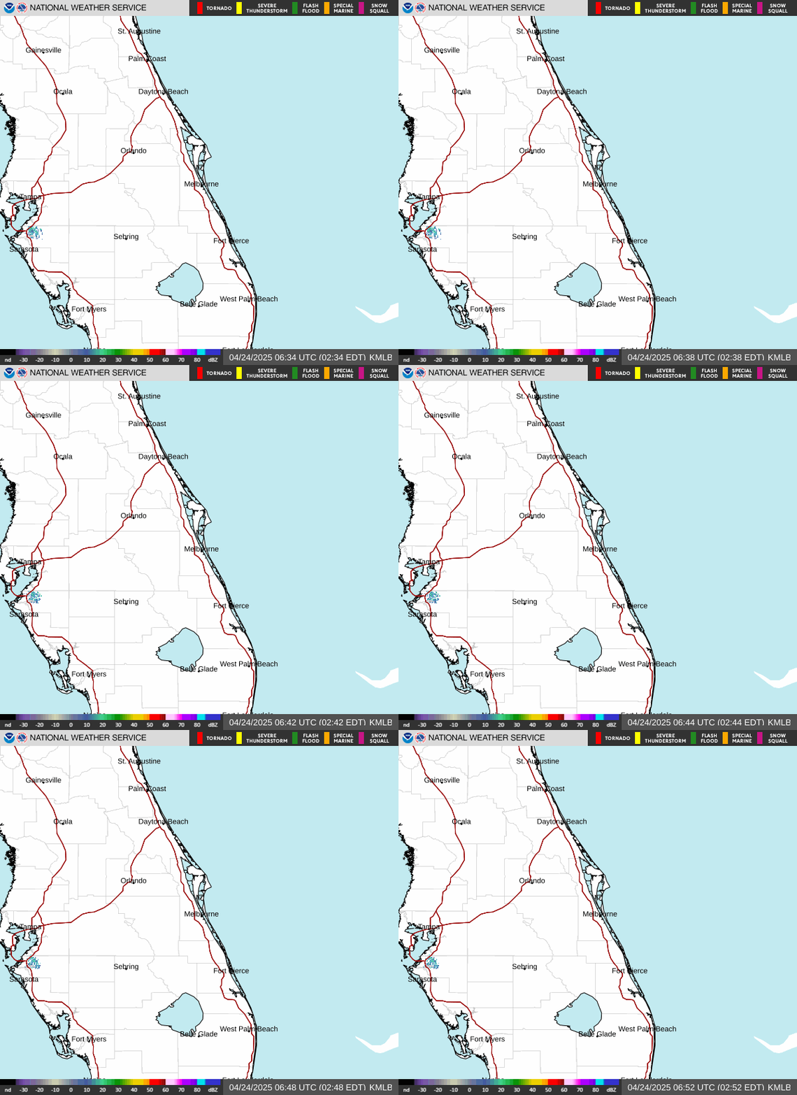
Melbourne, FL Radar Loop SE USA Radar Loop

GWSR-88D Radar List (159 sites)


KFLSEBAS1 Graphs & Details

Graphs and Gauges

Detailed Current Weather

Detailed Daily Reports


Maps

Severe Weather - Storm Prediction Center

NWS - Active Weather Alerts

Temperature

Apparent Temperature

Relative Humidity

Radar

Dew Point

Wind Speed (Knots)

Wind Gusts (Knots)

Wind Direction

Visibility

GOES 16 East - Satellite Images

GOES 17 West - Satellite Images

Satellite Images - GOES Imagers: East & West

Satellite Information and Links

Fronts

Snow Information

Surface and Upper Air (Jet Stream)

Aviation Weather


Forecast Maps

Temperature Forecast

Maximum Temperature Forecast

Minimum Temperature Forecast

Dew Point Forecast

Relative Humidity Forecast

Probability of Precipitation

Prevalent Weather

Sky Cover


Marine Weather

Marine Forecast

National Data Buoy Center


Health Maps

Air Quality

UV Forecast

UV Index

UV Index logo

Space Weather Prediction Center

NOAA Space Weather

NOAA Space Weather Enthusiasts


Tropical Weather

East Central Florida Tropical Weather Page

National Hurricane Center

NWS Southern Region Tropical Web Page


NOAA nowCOAST

nowCOAST for General Use

nowCOAST for Mariners


Weather Station

Davis Instruments Hayward, California

Davis Instruments Vernon Hills, IL

Current Conditions

[This section automatically refreshes every 2.5 minutes]

Updated:5:55am on 1/22/25

(Location)


Currently:
53.8°

icon.jpg

High: 56.2° 
(3:46am) 
Low: 53.4° 
(12:00am)


spectrum
 
Wind: 8 mph from the NW
Gust: 10 mph
Today's High Wind: 19 mph (3:44am)
Humidity: 88%
Pressure: 30.16 in  (Steady) 
Pressure Rate: 0.010 in/hr
Dew Point: 50.3°
Wind Chill: 51.4°
Heat Index (feels like): 59.1°
Comfort Level: Cool
Temperature Rate:  -0.94°/hr

Rainfall Totals

Hourly Rain 0.00 in
Daily Rain: 0.00 in
Monthly Rain: 1.20 in
Yearly Rain: 1.20 in
Total Rain Rate: 0.000 in
Normal Rain, month to date: 0.00 in
Normal Rain, year to date: 0.00 in


7 Day Forecast

Weather Advisories

.Click on the Auto Scroll RSS Weather Warning Feed of interest to expand its message.

..The same warning message may appear more than once if it apples to multiple counties..

GOES 16 East Satellite Picture

NWS_Continental_US_Geocolor_Thumbnail

Hover over and click for satellite animation

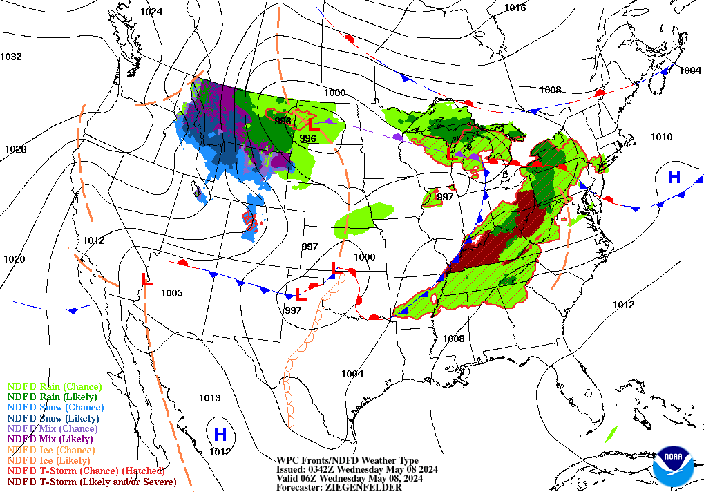
NWS WPC Weather Map

Weather_Forecast_Map


NOAA/NWS Storm Prediction Center

Storm Prediction Center


Almanac

Sunrise:  
7:11am
Moonrise: 
1:04am

Moon Phase:
50%

moon_day
Sunset: 
5:53pm
Moonset:  
12:05pm


Astronomy - Star Charts

NASA-International Space Station Spot the Station - International Space Station

Heavens Above Heavens Above- Configuration for Sky Chart


In-The-Sky In the Sky- Guides to the Night Sky


NOAA Tides and Currents

Tide Predictions

Tide Predictions for Sebastian, FL Indian River

Weather Reports from select Reporting Stations around the Region
 

Local Weather Exchange® Network
Station ID

City 
(Click for Map Location)

Neighborhood 
(Click for History)
Last Update (Date & Time)

Temperature
 (°)

Dew
Point (°)
Humidity 
(%)
Wind 
(mph)
from the Wind Gust 
(mph) 
Pressure (in) Hourly
Rain (in)
KFLSEBAS1 Sebastian KFLSEBAS1-CW7841

1/22/255:55am

53.8

50.3

88

8

NW

10

30.16

0.00

                       
Weather Warnings for Indian River, Brevard, St. Lucie, Osceola & Okeechobee Counties

.Click on the Auto Scroll RSS Weather Warning Feed of interest to expand its message.

..The same warning message may appear more than once if it apples to multiple counties..

Powered by: Surfing Waves
Free RSS Widget at: Surfing Waves